








The start of a new year brings a natural sense of momentum, a chance to reset routines, set intentions, and step into something fresh. Across the country, one tradition has continued to grow year after year: celebrating January 1 with a glorious hike. Whether it’s a scenic stroll, a family-friendly loop, or a more challenging climb, First Day Hikes offer a meaningful way to welcome the year ahead while reconnecting with the outdoors. From coastal paths and desert canyons to forested trails and mountain overlooks, we’ve gathered some ofthe most popular hikes near Adventures Unbound properties to inspire your first adventure of 2026.
Jump to hikes by state:
Arizona | California | Colorado | Washington, DC | Florida | Massachusetts | Minnesota | Nevada | New York | Oregon | Washington
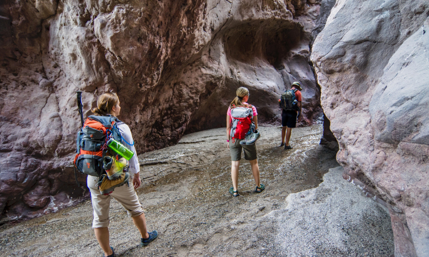
Willow Beach (AZ)
Desert scenery, geology, and Colorado River views, best enjoyed in cooler months with plenty of water.
Featured Trails
Arizona Hot Springs Trail (Ringbolt Hot Springs)
- Distance / Type: Typically done as a 5–6 mile loop
- Difficulty: Strenuous
- Surface: Desert trail / canyon terrain
- Where it is: Lake Mead NRA near Hoover Dam; leads to hot springs along the Colorado River
- Why it’s special: Slot canyon scenery, desert plants, a ladder climb, and geothermal pools near the river.
- Trail map link: https://www.alltrails.com/trail/us/arizona/arizona-ringbolt-hot-springs-via-white-rock-canyon
Liberty Bell Arch
- Distance / Type: Distance not provided
- Difficulty: Moderate (heat/exposure dependent)
- Surface: Sandy and rocky desert terrain
- Where it is: Lake Mead area; route to an overlook above the Colorado River corridor
- Why it’s special: Striking geology and remnants from WWII-era magnesium mining; no river access on this trail.
- Trail map link: https://www.alltrails.com/trail/us/arizona/liberty-bell-arch
Guest Tips
- No shade and spotty cell service, bring plenty of water and start early; avoid peak heat.
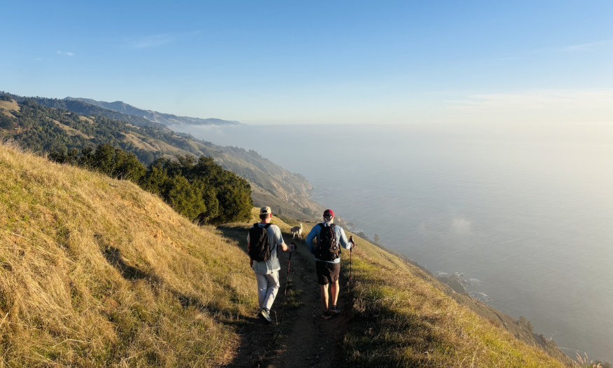
Big Sur Lodge (CA)
Start 2026 with a true challenge: a steep climb with epic ridge-top views above Big Sur.
Featured Trails
Timber Top and Boronda Trail (Boronda Trail)
- Distance / Type: Out-and-back; climbs ~2,562 ft in a little over 2 miles
- Difficulty: Challenging
- Surface: Natural trail
- Where it is: Starts near Highway 1 in Big Sur; ascends to high viewpoints
- Why it’s special: Big elevation gain and “above the clouds” views; bring lots of water, sunblock, and consider hiking poles.
- Trail map link: https://www.alltrails.com/trail/us/california/timber-top-and-boranda-trail
Guest Tips
- Sun exposure can be intense, pack water, sun protection, and start earlier in the day when possible.
Additional Options
- On-site tip: Grab a deli sandwich at the Homestead Restaurant and trail essentials at the Lodge General Store for a ridge-top picnic.
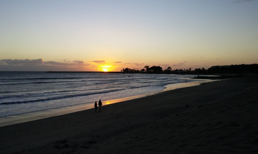
Dana Point / Doheny State Beach (CA)
Coastal views, harbor overlooks, and beach access make these trails an easy, scenic way to start the year.
Featured Trails
Dana Point Headlands Loop
- Distance / Type: Loop
- Difficulty: Easy to moderate
- Surface: Mixed
- Where it is: Dana Point Headlands overlooking Dana Point Harbor and the coast
- Why it’s special: Very scenic with photo-worthy overlooks; includes beach views.
Salt Creek Trail
- Distance / Type: Trail connection between parks
- Difficulty: Easy
- Surface: Multi-use
- Where it is: Connects two parks and provides beach access
- Why it’s special: Stroller- and dog-friendly; easy coastal access.
Badlands Park and South Laguna Coast
- Distance / Type: Mostly dirt trail
- Difficulty: Moderate
- Surface: Dirt/natural
- Where it is: Overlooks Dana Point and parts of Laguna Beach
- Why it’s special: Big coastal views and a more rugged trail feel than the paved options.
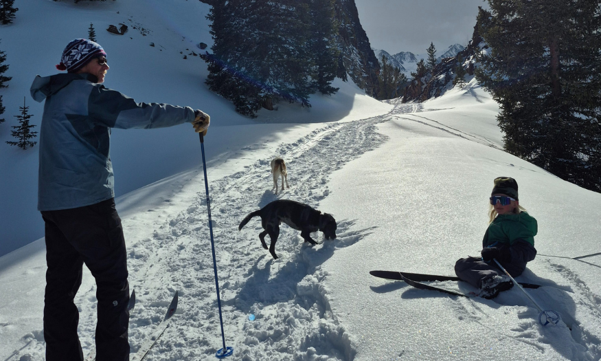
Breckenridge (CO)
A high-country kickoff with historic mining routes and scenic overlooks, choose a shorter loop or a longer out-and-back.
Featured Trails
Iowa Hill Trail
- Distance / Type: 1.2 miles, loop (302 ft gain)
- Difficulty: Beginner
- Surface: Natural surface
- Where it is: Breckenridge area (near bus stop, as provided)
- Why it’s special: Historic mining past with relics and interpretive signs; good for all ages.
Boreas Pass Road
- Distance / Type: Up to 12.8 miles one-way (turn around any time)
- Difficulty: Beginner
- Surface: Road/trail (multi-use)
- Where it is: Follows old railroad line between Breckenridge and Como
- Why it’s special: Spectacular views with easy customization, beautiful viewpoints just minutes from the parking lot.
Baker’s Tank Trail
- Distance / Type: 2.6 miles one-way (705 ft gain)
- Difficulty: Moderate
- Surface: Natural surface
- Where it is: Breckenridge area ridge route
- Why it’s special: Strong elevation gain to a ridge with incredible panoramic views.
Guest Tips
- Check trail conditions and weather before heading out; winter conditions can change quickly in mountain environments.
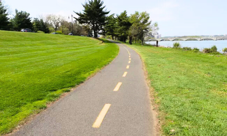
Capital Collection (DC/VA/MD)
As proud stewards of national and state park lands, we’re honored to help connect guests with meaningful outdoor experiences year-round. While most of our Capital Collection locations are closed for the winter season, we still highly recommend exploring the scenic trails throughout the Washington, DC area to kick off your first day of 2026.
Featured Trails
Mount Vernon Trail
- Distance / Type: 18 miles, paved multi-use (use any segment)
- Difficulty: Easy (segment-dependent)
- Surface: Paved
- Where it is: Runs from George Washington’s Mount Vernon to Theodore Roosevelt Island along the Potomac
- Why it’s special: Iconic Potomac corridor trail used by over a million pedestrians/bicyclists annually; passes near Columbia Island Marina and Washington Sailing Marina.
- Trail map link: https://www.nps.gov/gwmp/planyourvisit/mtvernontrail.htm
Georgetown Loop
- Distance / Type: ~6.3 miles, loop
- Difficulty: Easy
- Surface: Mixed (primarily trail)
- Where it is: Near Washington, DC; close to Thompson’s Boat Center, Key Bridge Boathouse, and Fletcher’s
- Why it’s special: Popular for running and walking; open year-round and scenic in every season.
- Trail map link: https://www.alltrails.com/trail/us/washington-dc/georgetown-loop
Northern Loop in Rock Creek Park
- Distance / Type: Roughly ~5 miles, loop
- Difficulty: Moderate
- Surface: Mixed (paved + dirt)
- Where it is: Northern Rock Creek Park; begins at the Nature Center and Planetarium
- Why it’s special: A wooded loop linking multiple trails (Valley, Black Horse, Western Ridge) with classic DC park scenery.
- Trail map link: https://www.nps.gov/thingstodo/hike-the-northern-loop-in-rock-creek-park.htm
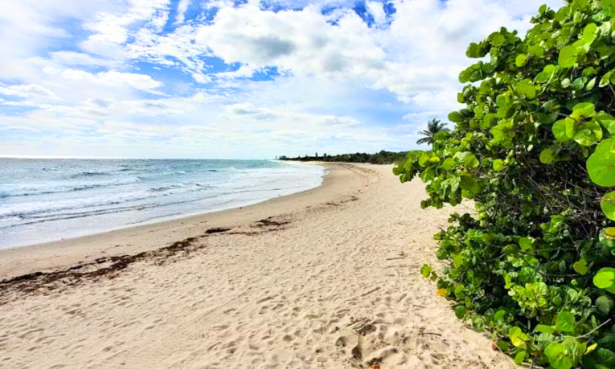
Dania Beach – Dr. Von D. Mizell–Eula Johnson State Park (FL)
A choose-your-own-distance coastal walk with hammock forest and beachfront scenery.
Featured Trails
Beachfront Walk (Full Stretch)
- Distance / Type: Up to ~2.5 miles (out-and-back as desired)
- Difficulty: Easy to moderate (sand walking)
- Surface: Sand
- Where it is: Along the Atlantic shoreline within the park
- Why it’s special: One of the best natural shoreline walks in Broward County with ocean views, shells, and seabirds.
Park Service Road Walk
- Distance / Type: ~3 miles round-trip
- Difficulty: Easy
- Surface: Paved road
- Where it is: Runs through the length of the park between mangroves, dunes, and beach access paths
- Why it’s special: Straightforward fitness-friendly route; a good option for visitors who prefer pavement.
Guest Tips
- Trail status note: Barrier Island Nature Trail and related routes were reported as closed as of this blog post. Please check for the most current information before making the trip!
- Best time for beach walking: early morning or late afternoon for cooler temps and better light.
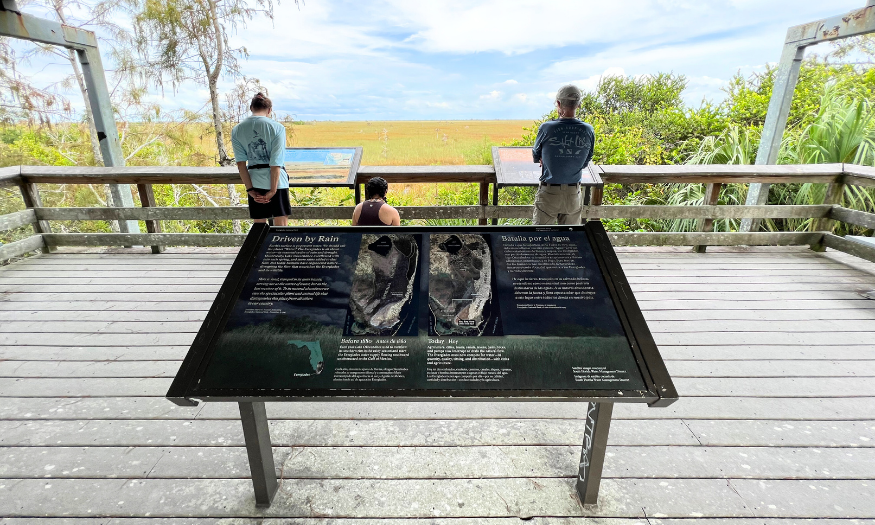
Flamingo Everglades (FL)
Choose an easy bayfront stroll or a longer mangrove-and-prairie route for a true Everglades First Day Hike.
Featured Trails
Guy Bradley Trail
- Distance / Type: ~0.6 mile, out-and-back
- Difficulty: Easy
- Surface: Paved
- Where it is: Along Florida Bay near Flamingo
- Why it’s special: Easy waterfront walk with great birdwatching, butterflies, and bay views.
Christian Point Trail
- Distance / Type: ~4.2 miles one-way
- Difficulty: Moderate
- Surface: Rustic path
- Where it is: Starts in mangroves/buttonwoods and ends near Snake Bight shoreline
- Why it’s special: Excellent habitat variety, mangroves to coastal prairie, with strong bird/marine-life viewing potential.
Snake Bight Trail
- Distance / Type: ~7–7.6 miles (trail + road)
- Difficulty: Moderate
- Surface: Mixed (trail/road)
- Where it is: Leads to mangrove-lined shore of Florida Bay / Snake Bight
- Why it’s special: Big coastal/wildlife views; especially good near high tide.
Guest Tips
- Bring insect repellent and plenty of water; coastal routes can be sunny, and mosquitoes can be intense.
- For longer routes, consider tide timing for best wildlife viewing.
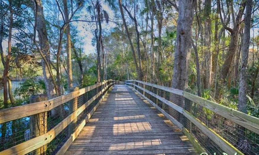
Homosassa Springs (FL)
A short, accessible nature walk with excellent birding, ideal for an easy New Year’s outing.
Featured Trail
Pepper Creek Trail
- Distance / Type: ~0.75 miles
- Difficulty: Easy
- Surface: Paved (wheelchair accessible)
- Where it is: Homosassa Springs area
- Why it’s special: Great for birding and nature study; supports monthly Audubon bird walks (Oct–Apr).
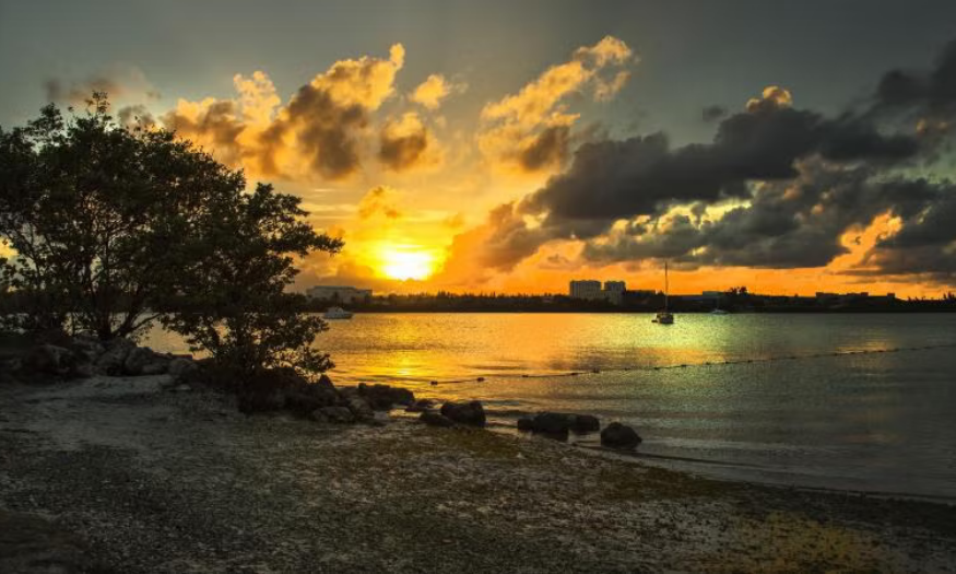
Oleta River State Park (FL)
Kick off 2026 with an easy coastal hike featuring mangroves, Intracoastal views, and great birdwatching.
Featured Trails
Paved Multi-Use Trail (Oleta River State Park Trail)
- Distance / Type: ~3 miles, loop/route
- Difficulty: Easy
- Surface: Paved
- Where it is: Follows the shoreline through the park
- Why it’s special: Scenic views of the Intracoastal Waterway and mangroves; ideal for walking, running, and hiking.
Picnic, Chicanes & Wildfire Loop
- Distance / Type: ~1.9 miles, loop
- Difficulty: Easy to moderate
- Surface: Natural surface
- Where it is: Around the peninsula near the main parking area
- Why it’s special: A quieter, more nature-oriented loop for guests who want a calmer trail experience.
South Point Nature Trail
- Distance / Type: ~0.25 mile one-way (about ~0.5 mile when paired with the paved trail)
- Difficulty: Easy
- Surface: Natural surface
- Where it is: Connects off the paved path under coastal hammock
- Why it’s special: Short interpretive nature stroll that’s family-friendly and easy to add on.
Guest Tips
- Multi-use trails: the mountain bike network (10–15 miles) is also used by hikers on easier sections, stay alert and yield to cyclists.
Additional Options
- Mountain Bike Trails (multi-use): 10–15 miles total network; hikers can use easier green/blue routes with caution.
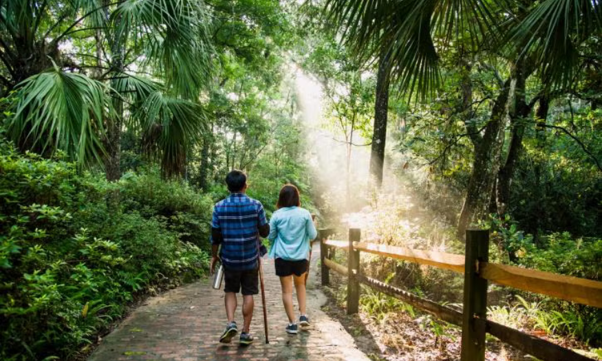
Rainbow Springs State Park (FL)
A spring-side start to the year with short, easy loops, great for families and casual walkers.
Featured Trails
Historic Attraction Walk
- Distance / Type: ~1 mile
- Difficulty: Easy
- Surface: Mixed
- Where it is: Rainbow Springs area
- Why it’s special: A shorter walk option that pairs well with a relaxed day at the springs.
Phosphate Loop Trail
- Distance / Type: ~2.1 miles, loop
- Difficulty: Easy to moderate
- Surface: Natural surface
- Where it is: Rainbow Springs area
- Why it’s special: A longer loop option for guests who want more time on trail.
Sandhill Trail
- Distance / Type: ~0.95 miles
- Difficulty: Easy
- Surface: Natural surface
- Where it is: Rainbow Springs area
- Why it’s special: Short, approachable route through sandhill habitat.
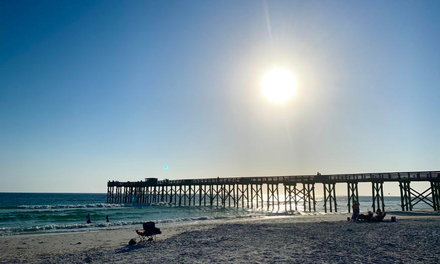
St. Andrews State Park (FL)
Join a ranger-led First Day Hike and learn about native ecosystems and prescribed fire while exploring the park’s nature trails.
Featured Trails
Heron Pond Trail
- Distance / Type: Part of the park’s nature trail options
- Difficulty: Easy
- Surface: Natural surface
- Where it is: St. Andrews State Park
- Why it’s special: A great nature walk option, often included in ranger-led programming.
Gator Lake Trail
- Distance / Type: Part of the park’s nature trail options
- Difficulty: Easy
- Surface: Natural surface
- Where it is: St. Andrews State Park
- Why it’s special: Pairs well with other nature trails for a short, educational First Day Hike experience.
Ranger-led First Day Hike Event Route
- Distance / Type: ~1.5 miles total on both nature trails
- Difficulty: Easy
- Surface: Natural trails
- Where it is: St. Andrews State Park nature trails
- Why it’s special: Rangers discuss native ecosystems and how prescribed fire affects plants and animals.
- Trail map link: https://www.floridastateparks.org/events/first-day-hike-109
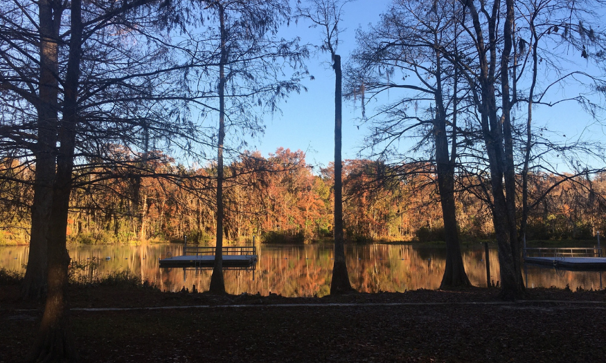
Wakulla Springs State Park (FL)
A peaceful New Year’s hike through classic North Florida ecosystems with great wildlife viewing potential.
Featured Trails
Sally Ward Trail
- Distance / Type: ~1.5 miles, loop
- Difficulty: Easy to moderate
- Surface: Natural surface
- Where it is: Near main parking area and picnic grounds
- Why it’s special: Loops near the Sally Ward Spring Run and showcases hardwood hammocks, cypress wetlands, and pine flatwoods.
Hammock Spur Trail
- Distance / Type: ~0.6 miles one-way (spur)
- Difficulty: Easy
- Surface: Natural surface
- Where it is: Connects from the Sally Ward Trail
- Why it’s special: A quieter detour into shaded hardwood hammock, great for birding and photography.
Guest Tips
- In wetter seasons, expect more amphibian activity and potentially wetter trail sections near waterways.
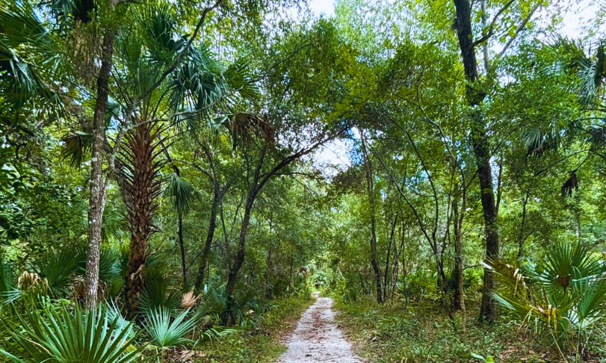
Wekiwa Springs State Park (FL)
A flexible First Day Hike spot with everything from short boardwalk loops to all-day treks through diverse ecosystems.
Featured Trails
Wet-to-Dry Trail
- Distance / Type: ~0.8–0.9 miles (loop)
- Difficulty: Easy
- Surface: Boardwalk + dirt trail
- Where it is: Starts at the spring outflow and transitions from wet hammock to dry uplands
- Why it’s special: Short, family-friendly loop that highlights the park’s wet-to-dry habitat transition.
- Trail map link: https://www.floridastateparks.org/sites/default/files/media/file/20190618%20WSSP%20Trail%20Map%20-%20New%20Logo.pdf
White Trail (Main Hiking Trail)
- Distance / Type: ~13.5 miles (loop; shorter sections possible)
- Difficulty: Moderate to challenging (distance-dependent)
- Surface: Natural surface (can be wet in spots)
- Where it is: Park-wide loop through flatwoods, swamps, and hardwood hammocks; includes Rock Springs Run sections
- Why it’s special: Signature long loop showcasing ecosystem variety; multiple access points allow shorter versions.
- Trail map link: https://www.floridastateparks.org/sites/default/files/media/file/20190618%20WSSP%20Trail%20Map%20-%20New%20Logo.pdf
Volksmarch Trail (Orange Blazes)
- Distance / Type: Nearly 6 miles (loop)
- Difficulty: Moderate
- Surface: Natural surface
- Where it is: Orange-blazed loop with varied scenery; connects to the Florida Trail
- Why it’s special: A quintessential Wekiwa loop with strong wildlife viewing and access to camping sites.
- Trail map link: https://www.floridastateparks.org/sites/default/files/media/file/20190618%20WSSP%20Trail%20Map%20-%20New%20Logo.pdf
Guest Tips
- Some trails are multi-use, so be prepared to encounter bicyclists or horseback riders on designated routes.
- Bring water, sunscreen, insect repellent, snacks, and a map/cellphone.
Boating in Boston (MA)
Although Boating in Boston is closed for the winter season, the city’s state parks and waterfront trails provide quick, approachable walks near the water, ideal for families, casual hikers, and New Year’s fresh-air plans.
Featured Trails
Nahanton Park Perimeter Loop (Newton, MA)
- Distance / Type: ~1.3 miles, loop
- Difficulty: Easy
- Surface: Mixed
- Where it is: Nahanton Park, Newton, MA
- Why it’s special: Great for a quick stroll or jog; woods, river edges, gardens, and meadows.
Florrie’s Path (Accessible River-Path Walk)
- Distance / Type: Short accessible river path
- Difficulty: Easy
- Surface: Stone-dust / accessible surface
- Where it is: Nahanton Park area
- Why it’s special: Flat, smooth path along the Charles River, good for strollers and wheelchairs.
Cochituate Rail Trail (Natick, MA)
- Distance / Type: ~6.7 miles, paved multi-use
- Difficulty: Easy
- Surface: Paved
- Where it is: Between Natick and Framingham; near Lake Cochituate
- Why it’s special: Flat, well-maintained path suitable for families, pets, and casual walkers/riders.
Additional Options
- Optional add-on near Lake Cochituate: Snake Brook Trail (short, gentle nature stroll).

Giants Ridge (MN)
Snowshoe-friendly options with ‘woods and waters’ scenery, perfect for a winter First Day Hike.
Featured Trails
Sleeping Giant Trail
- Distance / Type: ~1.1 miles (one way to top; out-and-back)
- Difficulty: Moderate
- Surface: Winter trail/snow route
- Where it is: Departs from the Bronze Nordic trail on the south side of the alpine area
- Why it’s special: Forest ascent to mountaintop trailhead; can return same way or connect to the North Face route.
North Face Trail
- Distance / Type: ~1.2 miles (route to mountaintop)
- Difficulty: Moderate
- Surface: Winter trail/snow route
- Where it is: Departs from near the main chalet via the Kitty Cat fat-bike trail
- Why it’s special: A northern approach that winds up and around the backside of the mountain to the top.
Narrows Trail
- Distance / Type: ~1.3 miles
- Difficulty: Beginner
- Surface: Winter trail/snow route
- Where it is: Accessible from the Mesabi Trail; begins south of the main entrance to the alpine area
- Why it’s special: A beginner-level snowshoe with Boundary Waters-like landscapes along the narrowest part of the river.

Bear Mountain State Park (NY)
A Hudson Valley classic: rugged climbs, historic routes, and panoramic river views close to NYC.
Featured Trails
Popolopen Torne Loop
- Distance / Type: ~1.18 miles, loop
- Difficulty: Moderate
- Surface: Rocky trail with some scrambling
- Where it is: Trailhead on Mine Rd; blue-blazed loop
- Why it’s special: Short hike with a meaningful memorial at the top and 360-degree views over the Hudson and Bear Mountain Bridge.
Hike Bald Mountain (via Cornell Mine Trail / RD Trail / 1777 Trail)
- Distance / Type: ~6.8 miles, loop
- Difficulty: Challenging
- Surface: Rocky trail with steep ascent sections
- Where it is: Starts near Bear Mountain Inn; includes historic Revolutionary War routes
- Why it’s special: Rewarding summit views; passes Doodletown and offers optional side trips to cemeteries and a waterfall.
Anthony’s Nose via Appalachian Trail
- Distance / Type: ~1.95 miles
- Difficulty: Moderate
- Surface: Trail with stone stair sections
- Where it is: Near Bear Mountain Bridge; Appalachian Trail segment
- Why it’s special: Panoramic Hudson River views and a chance to hike a famous stretch of the Appalachian Trail.
Guest Tips
- Weekend parking can be busy near trailheads, arrive early and prioritize safety when parking near roadways.
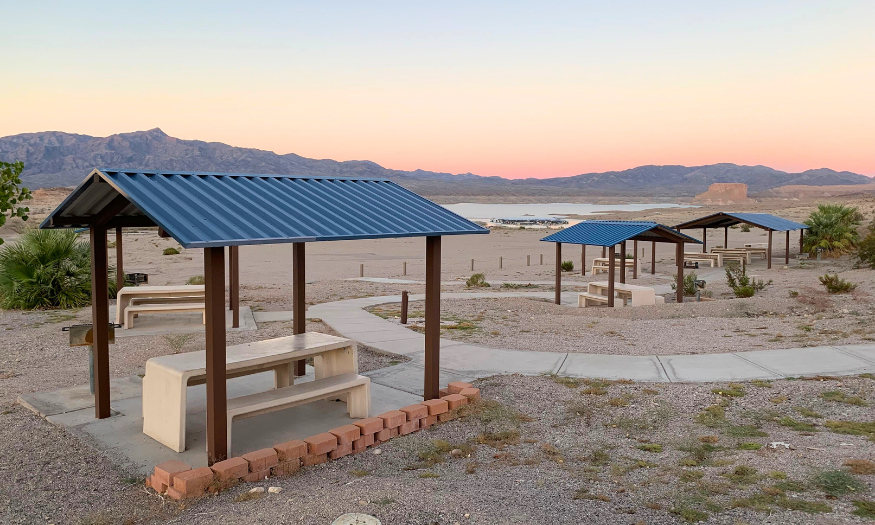
Lake Mead And Lake Mohave (NV)
Hoover Dam history, dramatic canyon scenery, and slot canyon adventure options close to Lake Mead.
Featured Trails
Historic Railroad Tunnel Trail
- Distance / Type: Route with optional loop/shortcut
- Difficulty: Easy to moderate
- Surface: Trail suitable for walking/jogging/biking
- Where it is: Near Hoover Dam / Lake Mead area
- Why it’s special: Five massive tunnels with panoramic views of Lake Mead and the Boulder Basin region.
- Trail map link: https://www.alltrails.com/trail/us/nevada/railroad-tunnel-trail
Goldstrike Canyon Trail
- Distance / Type: Distance not provided
- Difficulty: Strenuous
- Surface: Canyon scrambling with fixed ropes
- Where it is: Canyon route to hot springs pools near the river
- Why it’s special: One-of-a-kind hot springs hike with challenging scrambling; not recommended for most dogs due to technical sections.
- Trail map link: https://www.alltrails.com/trail/us/nevada/gold-strike-hot-springs-trail
White Owl Canyon (via 33 Hole)
- Distance / Type: Distance not provided
- Difficulty: Moderate
- Surface: Road/trail mix with slot canyon sections
- Where it is: Features two connected slot canyons with steep gravel hills at start/end
- Why it’s special: Slot canyon route, go left at the fork to descend the steepest sections rather than climb them.
- Trail map link: https://www.alltrails.com/trail/us/nevada/white-owl-canyon-via-33-hole
Guest Tips
- For canyon routes, bring gloves for rope sections and allow extra time for technical terrain.
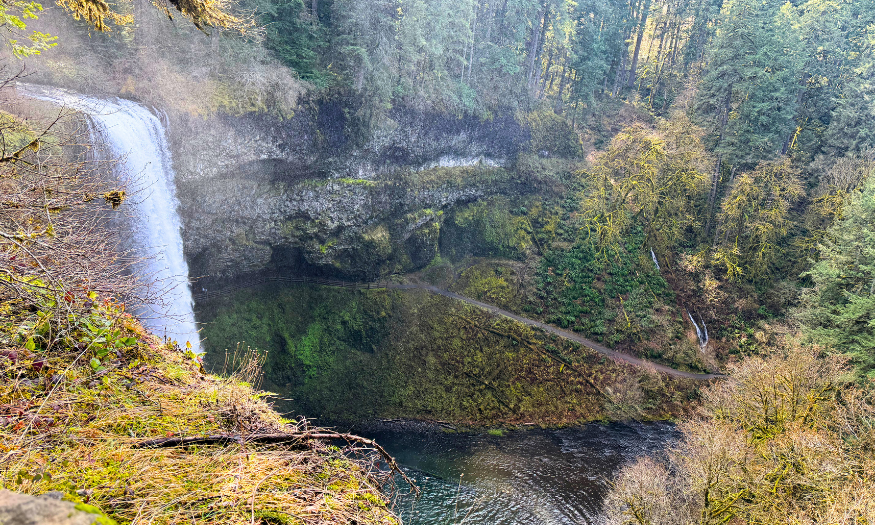
Silver Falls State Park (OR)
Start the year with Oregon’s iconic waterfall loop, 10 falls, big scenery, and multiple access points.
Featured Trails
Trail of Ten Falls (Canyon + Rim Trails Loop)
- Distance / Type: ~7.2 miles, loop (can extend to ~9 with detours)
- Difficulty: Moderate
- Surface: Mixed (trail)
- Where it is: Silver Falls State Park; access near South Falls and North Falls trailheads
- Why it’s special: Features 10 waterfalls, including 4 where you can walk behind the falls, highlighting South Falls and North Falls.
Rim Trail (pet-friendly sections)
- Distance / Type: ~2.1 miles
- Difficulty: Easy to moderate
- Surface: Trail
- Where it is: Silver Falls State Park
- Why it’s special: Scenic, forested option that allows dogs (Canyon Trail does not).
Guest Tips
- Note: Dogs are not allowed on the Canyon Trail (where most waterfalls are located), but are permitted on select trails, such as the Rim Trail and some short rim routes.
- Join the Ranger-led hike at the North Rim Trail.
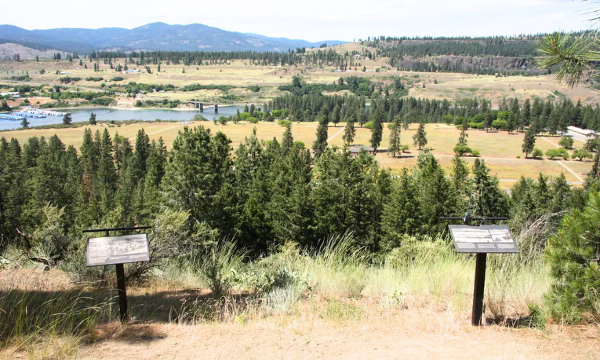
Lake Roosevelt (WA)
Enjoy history and big landscape views at trails near Seven Bays Marina that combine Fort Spokane heritage with dramatic river and bluff scenery.
Featured Trails
Sentinel Trail (Fort Spokane)
- Distance / Type: Distance not provided (interpretive route)
- Difficulty: Easy to moderate
- Surface: Trail
- Where it is: Fort Spokane area; about 7 miles from Seven Bays Marina
- Why it’s special: Interpretive trail with markers about late-1800s life at Fort Spokane and remnants of historic structures.
- Trail map link: https://www.nps.gov/thingstodo/sentinel-trail.htm
Bluff Trail (branch off Sentinel Trail)
- Distance / Type: Short climb (~300 ft gain)
- Difficulty: Moderate
- Surface: Trail
- Where it is: Fort Spokane area; branches from Sentinel Trail
- Why it’s special: Climbs to bluff-top views over the fort grounds and the river confluence.
Hawk Creek (Lake Roosevelt NRA)
- Distance / Type: Distance not provided
- Difficulty: Moderate
- Surface: Trail/beach (seasonal)
- Where it is: About 4 miles from Seven Bays Marina
- Why it’s special: Best during late-winter/early-spring drawdown when low water reveals ancient-looking beaches and unique geologic features.
- Trail map link: https://www.wta.org/go-hiking/hikes/hawk-creek-lake-roosevelt-nra
Additional Options

Mount Rainier – Longmire Area (WA)
A classic First Day Hike option with winter scenery. Expect snow and be prepared for changing conditions!
Featured Trails
Longmire / Cougar Rock Area Trails (seasonal access)
- Distance / Type: Varies by route (see map)
- Difficulty: Varies; winter conditions possible
- Surface: Mixed (packed snow/ice possible)
- Where it is: Longmire area at Mount Rainier National Park
- Why it’s special: Multiple trail options available depending on conditions; Rampart Ridge may have snow.
- Trail map link: https://www.nps.gov/mora/planyourvisit/upload/2016-Longmire_Cougar-Rock-Area-Trails_access.pdf
Guest Tips
- Plan for winter travel: traction devices and layers may be needed; check current park conditions before heading out.
Additional Options
- Additional map file: https://drive.google.com/file/d/1X5755t-T7oZ8PxMO8qpKEsMna5pW-rWG/view?usp=sharing
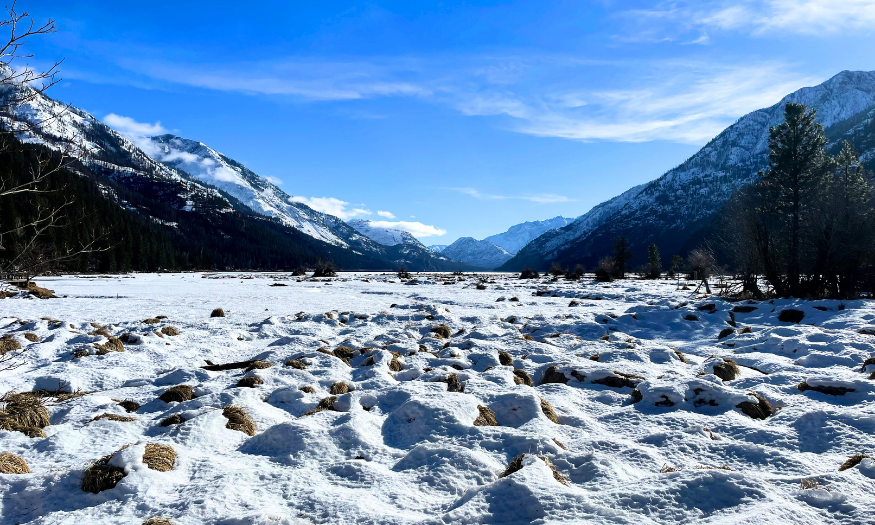
Stehekin and the North Cascades (WA)
Celebrate the new year with Lake Chelan scenery, choose a mellow lakeshore trek or a shorter loop with big valley views.
Featured Trails
Chelan Lakeshore Trail
- Distance / Type: ~17.2 miles (thru-hike; minimal elevation gain)
- Difficulty: Moderate to challenging (distance)
- Surface: Trail
- Where it is: Follows the scenic northeast shore of Lake Chelan to Stehekin
- Why it’s special: One of the most scenic ways to reach Stehekin, ideal for early morning/evening walks or multi-day hiking.
- Trail map link: https://www.wta.org/go-hiking/hikes/chelan-lakeshore
Rainbow Loop Trail
- Distance / Type: ~4.4 miles (about 1,000 ft gain)
- Difficulty: Moderate
- Surface: Trail
- Where it is: Overlooks the Stehekin Valley; includes shaded ponderosa pine forest sections
- Why it’s special: Short-and-sweet loop popular with locals and visitors; great for bluff views and a quick taste of the valley.
- Trail map link: https://www.wta.org/go-hiking/hikes/rainbow-loop
Guest Tips
- Stehekin access note: there are no roads leading to town; typical access is by hiking or boat.